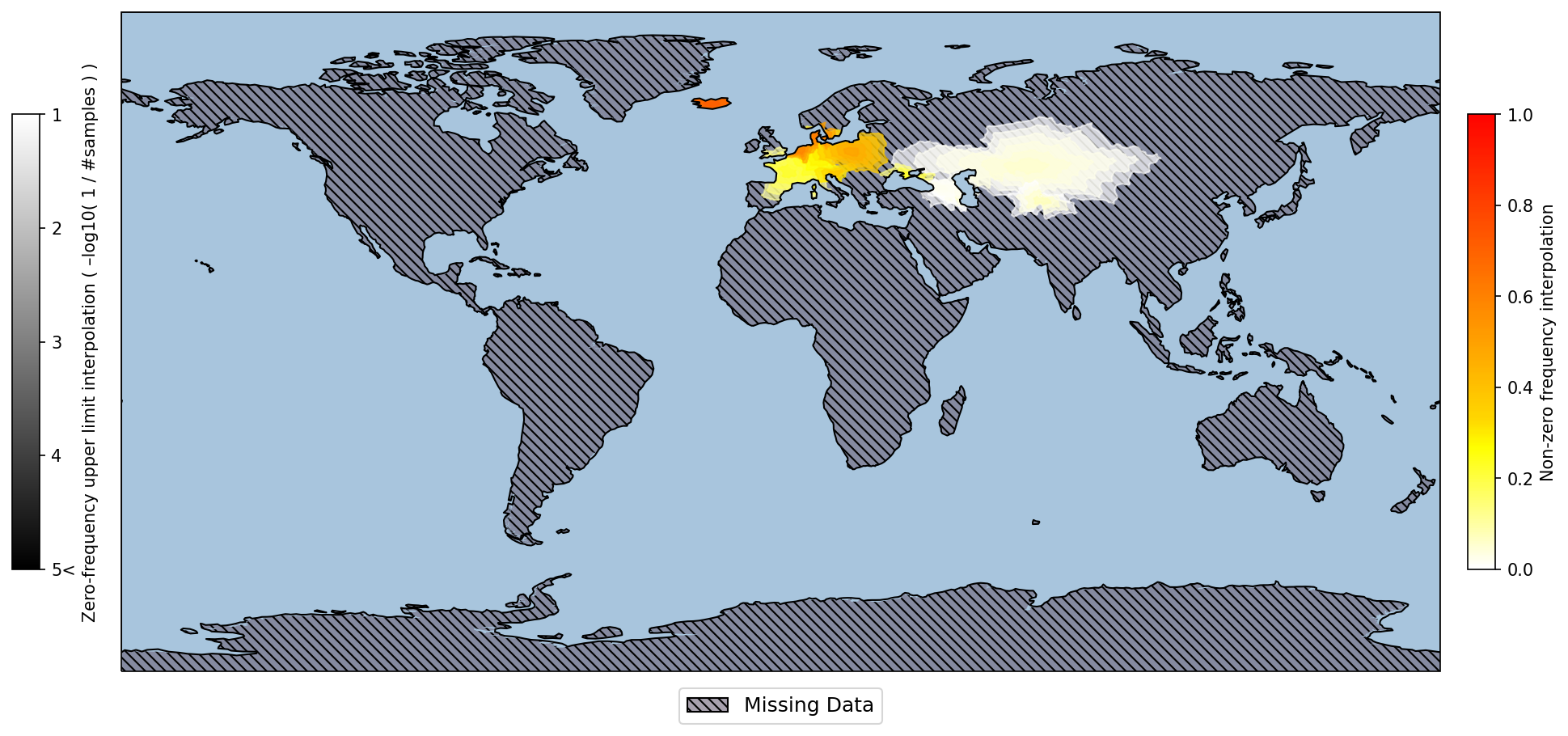
The SMapper tool visualizes spatial prevalence data while at the same time emphasizing potential limitations of the underlying dataset. To this end, the tool (1) visually distinguishes between regions with missing data, i.e. not covered by the dataset, and those that are covered but do not comprise observations of the feature of interest, e.g. due to a small size, (2) illustrates the confidence in non-observations by connecting them to the underlying sample size and (3) intentionally blurs political borders. These three measures well represent the limitations of the underlying prevalence data and help avoiding interpretational issues caused by these limitations.

Publication

  • Khellaf L, Ralf A, Nguyen KT, Kayser M, Nothnagel M (2023) SMapper: Visualising spatial prevalence data of all types, including sparse and incomplete datasets. Bioinformatics Advances, Epub ahead of print. https://doi.org/10.1093/bioadv/vbad176

UPLOAD to SMapper Web Service File Format Description Download Software SMapper Editor Download Example files

Upload to SMapper Web Service

SMapper uses a custom tabular file in CSV format. See LINK for a format description and an example file.

Please be aware that in CSV format, entries are typically separated by the comma (","). This is the expected format for SMapper.
When preparing a dataset using software like MS Excel or other spreadsheet applications, it is crucial to ensure that the comma symbol is used as the delimiter when exporting to CSV.
Using a semicolon symbol (";") or any other character, which might be the default in certain software packages, could result in problems when running SMapper.

SMapper requires the regions to be visualized to follow the nomenclature of the underlying polygon database. Before a map is created, the datafile can be edited accordingly. The corrected file can then be downloaded for future use.

Please note that the map construction may take a few or even dozens of minutes. You will be provided with a link from where to download the graphics file once it is ready.

UPLOAD to SMapper Web Service

SMapper Editor

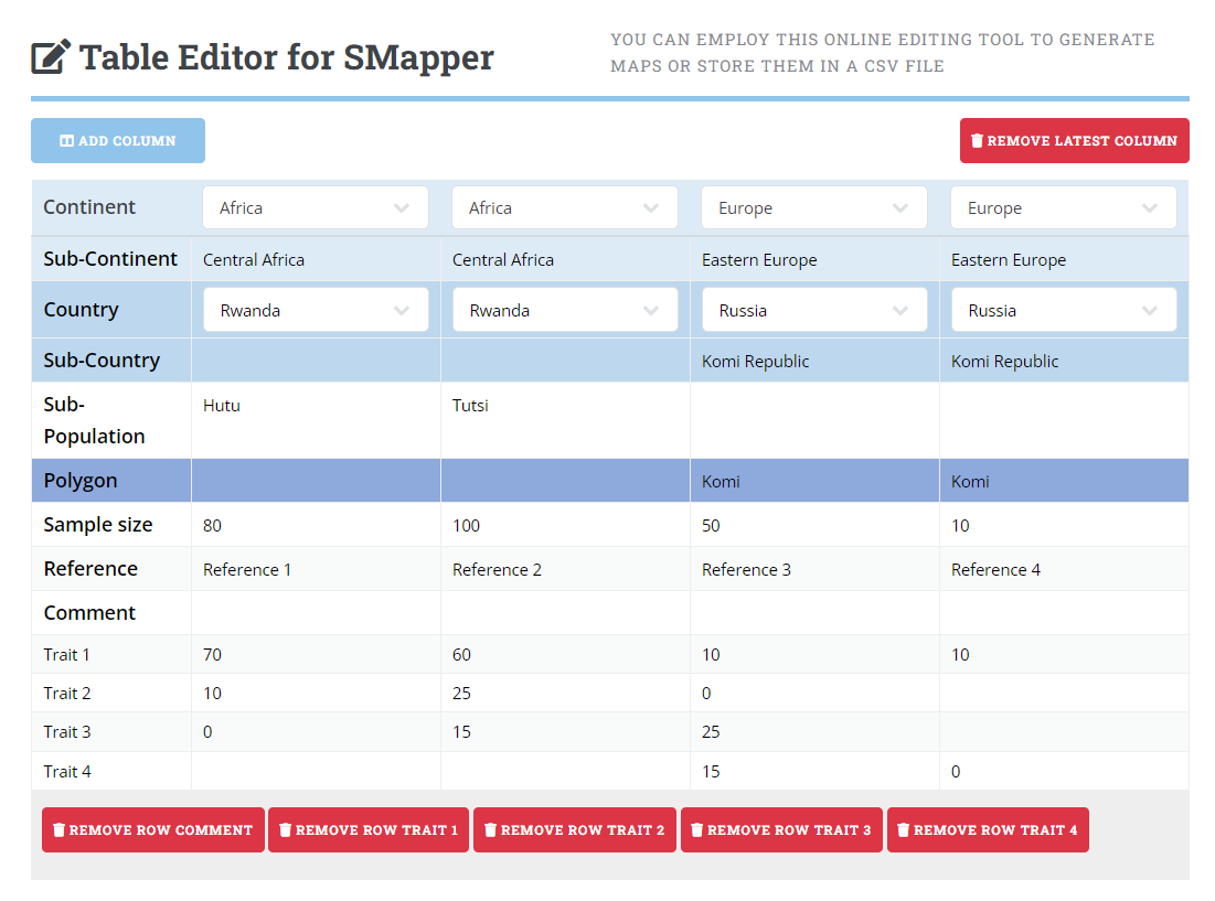
Enhance your data management experience with our Online SMapper Editor. This intuitive tool allows you to seamlessly edit data within a table designed for SMapper software. Once the processing is complete, you have the flexibility to either download the edited data as a CSV file or transmit it directly to the SMapper Service for map generation.

Streamline your workflow and make data editing simple with the Online SMapper Editor.

SMapper Editor


Last updated: October 24, 2024 | SMapper Version 5.0 | ©CCG - Statistical Genetics and Bioinformatics Group